Focus on
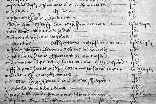
Henry Savage Sweetman: the man who uncovered Ireland’s medieval history

Henry Savage Sweetman published the Calendar which translated over 8,000 Irish medieval records. But who was Sweetman and why did he complete this project?
Piece
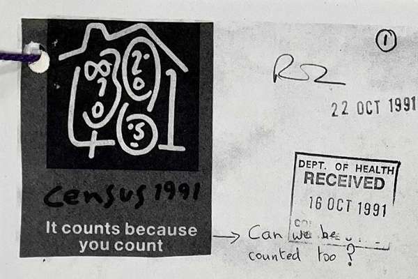
Catalogue reference: RG 18/499
This record is about the Collage of Ordnance Survey map sheets cut, mounted and annotated to show the following... dating from 1891 in the series Office of Population and Censuses and Surveys: General Register Office: Reference.... It is held at The National Archives, Kew.
Sorry, information for accessing this record is currently unavailable online. Please try again later.
Collage of Ordnance Survey map sheets cut, mounted and annotated to show the following registration districts as used for the 1891 census:
RG 18
See the series level description for more information about this record.
Records of the General Register Office, Government Social Survey Department, and...
Office of Population and Censuses and Surveys: General Register Office: Reference...
Collage of Ordnance Survey map sheets cut, mounted and annotated to show the following...
Focus on
Record revealed
Focus on
Records that share similar topics with this record.