Focus on
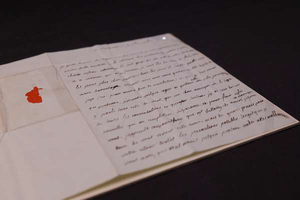
The American privateer and the secret copy of the Declaration of Independence

Uncover the story of the Dalton, and her rare copy of the Declaration of Independence.
Piece
Catalogue reference: MPH 1/8
This record is about the Honduras: Omoa. Plan, three sections and two elevations of Fort San Fernando d'Omoa... dating from 1779 in the series Public Record Office: Maps and plans extracted to flat storage from various series.... It is held at The National Archives, Kew.
Sorry, information for accessing this record is currently unavailable online. Please try again later.
Honduras: Omoa. Plan, three sections and two elevations of Fort San Fernando d'Omoa taken on 20 October 1779 by forces under the command of Commodore Luttrell and Captain Dalrymple. Scale: plan 1 inch to about 45 feet; sections and elevations 1 inch to about 17 feet. Drawn by Hans Carden, Lieutenant, 60th Foot, engineer to the expedition.
MPH 1
See the series level description for more information about this record.
Honduras: Omoa. Plan, three sections and two elevations of Fort San Fernando d'Omoa...
Read stories that share a catalogue subject with this record.
Focus on
Record revealed
Focus on
Records that share similar topics with this record.