Focus on
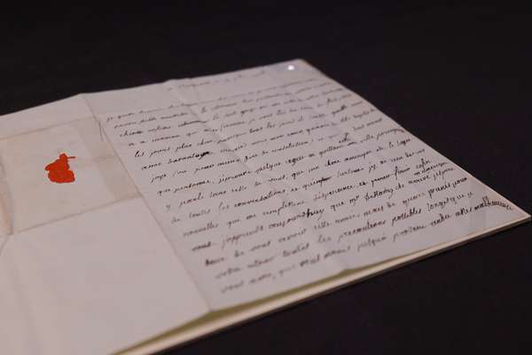
The American privateer and the secret copy of the Declaration of Independence

Uncover the story of the Dalton, and her rare copy of the Declaration of Independence.
Piece
Catalogue reference: MR 1/1099
This record is about the North America. 'A Survey of the South Shore of Lake Erie commencing at the Narrows... dating from 1789 in the series Public Record Office: Maps and plans extracted to rolled storage from various series.... It is held at The National Archives, Kew.
Sorry, information for accessing this record is currently unavailable online. Please try again later.
North America. 'A Survey of the South Shore of Lake Erie commencing at the Narrows at Fort Erie, and ending at the entrance of Detroit River ...': map (of territory now in Michigan, Ohio, Pennsylvania and New York states, United States of America, and in Ontario, Canada) showing hills, place names and soundings. Reference notes on navigation and on the nature of the country. Scale: 1 inch to 2 miles. Compass indicators. Surveyed by Henry Ford, Naval Officer, assisted by Patrick McNiff. Insets: Sandusky Lake; the entrances of the Rocky, Cayahoga and Grand rivers; Presque Isle harbour and Presque Isle fort.
For a reduced-size copy and a partial copy of this map, seerespectively MR 1/733/5 CO 700/NorthAmericanColoniesGeneral19
MR 1
See the series level description for more information about this record.
North America. 'A Survey of the South Shore of Lake Erie commencing at the Narrows...
Read stories that share a catalogue subject with this record.
Focus on
Record revealed
Focus on

Records that share similar topics with this record.