Focus on
Anglo-Indigenous diplomacy in colonial North America
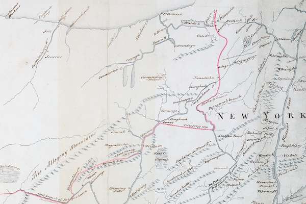
Our records offer unique insight into the careful diplomacy that took place in North America during the 18th century.
Piece
Catalogue reference: MFQ 1/795
This record is about the 1 item (originally part of a report drawn up by Pierre Baudin, Reporter of the Senate... dating from 1911-1912 in the series Public Record Office: Maps and plans extracted to flat storage from various series.... It is held at The National Archives, Kew.
Sorry, information for accessing this record is currently unavailable online. Please try again later.
1 item (originally part of a report drawn up by Pierre Baudin, Reporter of the Senate Commission appointed to examine the Franco-German treaty of 4 November 1911) extracted from FO 371/1402. Central Africa. 'Afrique Equatorial Francaise': map of the area between 24° N and 6° S and between 6° W and 26° E, showing existing boundaries, the boundaries resulting from the [Franco-German] treaty [relating to Morocco and the Congo], those concessions remaining subject to the previous regime, and those transferred [to the new regime]. Reference tables to concessions and boundaries. Scale: 1 inch to 113 miles. [?Compiled by] the Service Geographique des Colonies, [Paris], January 1912; printed by Millet, 2 Rue Luvois, Paris.
MFQ 1
See the series level description for more information about this record.
1 item (originally part of a report drawn up by Pierre Baudin, Reporter of the Senate...
Read stories that share a catalogue subject with this record.
Focus on
Focus on

Record revealed

Records that share similar topics with this record.