Focus on
Henry Savage Sweetman: The man who uncovered Ireland’s medieval history

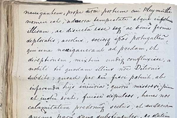
Henry Savage Sweetman published the Calendar which translated over 8,000 Irish medieval records. But who was Sweetman and why did he complete this project?
Piece
Catalogue reference: MPC 1/109
This record is about the 1 item extracted from DL 4/2/12. Map of the manor of Leeds, Yorkshire, to show parcels... dating from 1560 Feb 7 or later in the series Public Record Office: Maps and plans extracted to flat storage from various series.... It is held at The National Archives, Kew.
Sorry, information for accessing this record is currently unavailable online. Please try again later.
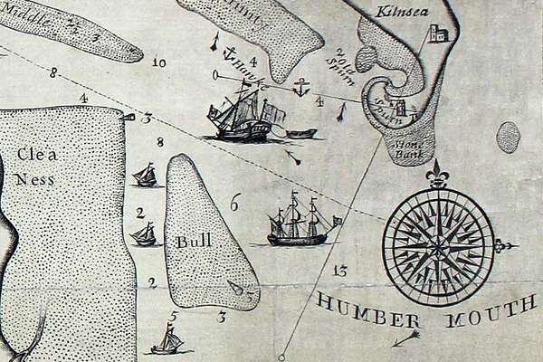
1 item extracted from DL 4/2/12. Map of the manor of Leeds, Yorkshire, to show parcels of the Crown and adjacent owners. Also shows towns of 'Boslyngthorp', Knowsthorpe and Woodhouse; River Aire, Sheepscar Beck, bridges, roads, Quarrells Hill, common fields of Leeds. Conventional symbols for buildings: manor house of Castle Hill, three mills, houses. No scale shown. Cardinal points. Oriented to the east. Part of a rental on dorse. Produced to illustrate a dispute, Thomas Folkingham v Thomas and Elizabeth Lindley concerning a new mill and dam. Originally filed with commission of 7 February, 2 Eliz I, which directed the commissioners to make a 'true and perfecte platte', in an issue of manorial rents.
MPC 1
See the series level description for more information about this record.
1 item extracted from DL 4/2/12. Map of the manor of Leeds, Yorkshire, to show parcels...
Read stories that share a catalogue subject with this record.
Focus on
Record revealed
The story of
Records that share similar topics with this record.