Focus on
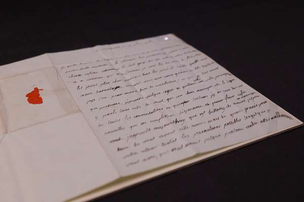
The American privateer and the secret copy of the Declaration of Independence

Uncover the story of the Dalton, and her rare copy of the Declaration of Independence.
Piece
Catalogue reference: MPG 1/958
This record is about the 1 item (originally an enclosure to a Board of Trade letter of 11 January 1727) extracted... dating from 1727 in the series Public Record Office: Maps and plans extracted to flat storage from various series.... It is held at The National Archives, Kew.
Sorry, information for accessing this record is currently unavailable online. Please try again later.
1 item (originally an enclosure to a Board of Trade letter of 11 January 1727) extracted from CO 5/1085 (folio 247). 'A Map of the Countrey of the Five Nations belonging to the Province of New York and of the Lakes near which the Nations of Far Indians live with part of Canada, taken from the Map of the Louisiane done by Mr. De Lisle in 1718'. Notes on the map refer to the Tuscaroras and the Necariages as the sixth and seventh nations, and to a meeting at Albany on 30 May 1723. Scale: 1 inch to 75 miles. Compass star. The area shown includes present-day New York State (in the United States of America) and an area westward to Lake Huron, including part of present-day Canada.
For an engraved version of this map, with fewer notes on the Tuscaroras and the Necariages, see CO 700/NewYork17
MPG 1
See the series level description for more information about this record.
1 item (originally an enclosure to a Board of Trade letter of 11 January 1727) extracted...
Read stories that share a catalogue subject with this record.
Focus on
Record revealed
Focus on

Records that share similar topics with this record.