Focus on
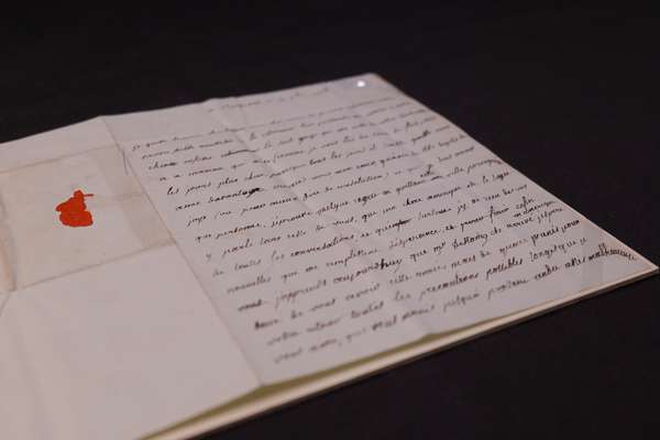
The American privateer and the secret copy of the Declaration of Independence

Uncover the story of the Dalton, and her rare copy of the Declaration of Independence.
Piece
Catalogue reference: MPG 1/816
This record is about the 1 item extracted from CO 194/269. 'Geological Map of Newfoundland by Alexr. Murray... dating from [1879] in the series Public Record Office: Maps and plans extracted to flat storage from various series.... It is held at The National Archives, Kew.
Sorry, information for accessing this record is currently unavailable online. Please try again later.
1 item extracted from CO 194/269. 'Geological Map of Newfoundland by Alexr. Murray Esqre. F.G.S. assisted by Jas. P. Howley. Drawn by Mr. Robt. Barlow Draughtsman to the Geological Survey of Canada', with sections of four parts of the island and a note on lands fit for settlement, location of pine trees, minerals and marsh lands. Reference table shows soil and rock types. The map also bears note by Alexander Murray giving a further explanation of the colouring. Scale: (map) about 1 inch to 25 miles; (sections) 1 inch to 4 miles. MS additions in blue pencil showing the positions of customs houses on the coast where American citizens were permitted to fish by the Convention of 1818.
MPG 1
See the series level description for more information about this record.
1 item extracted from CO 194/269. 'Geological Map of Newfoundland by Alexr. Murray...
Read stories that share a catalogue subject with this record.
Focus on
Record revealed
Focus on

Records that share similar topics with this record.