The story of
A trans botanist’s secret expedition to Antarctica
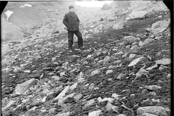
Explore how Elke Mackenzie, a pioneering transgender botanist, helped reshaped our understanding of polar exploration and LGBT+ history.
Piece
Catalogue reference: MAF 1/338
This record is about the Enclosure award and map of Fulbrook, Shipton under Wychwood and Taynton (parishes),... dating from 1861 in the series Agriculture, Fisheries and Food Departments, and related bodies: Enclosure Awards. It is held at The National Archives, Kew.
No, this record is not available online. Other ways to view it.
Yes, this record is held at The National Archives and is available to see in person. How to view it.
Enclosure award and map of Fulbrook, Shipton under Wychwood and Taynton (parishes), Oxfordshire. Map on two sheets. Map A covers the enclosed area and some other land (256 acres) and shows the land after enclosure. Also shows named commons, gibbet tree, houses and uninhabited buildings (distinguished by colour), quarry, parish boundary, boundary stones, field boundary ownership, some named landowners. Industrial land-use: kiln (dot in circle). Scale: 1 inch to 3 chains. Some construction lines shown, with chainages. By William Bryan Wood, Chippenham, 1861. Map certified for accuracy, 1 October 1863. Map B covers the enclosed area and some other land (1950.593 acres) and shows the land after enclosure. Also shows named river, church (coloured). With border. Scale: 1 inch to 6 chains. By William Bryan Wood, Chippenham, 1861. Valuer: William Bryan Wood, Chippenham, Wiltshire, Land Surveyor. Dimensions of maps: Map A) 108 cm x 176 cm, Map B) 85 cm x 74 cm
The county enrolled copy of this map is held at Oxfordshire History Centre, at reference QSD/A, Vol 32
MAF 1
See the series level description for more information about this record.
Enclosure award and map of Fulbrook, Shipton under Wychwood and Taynton (parishes),...
Read stories that share a catalogue subject with this record.
The story of
Record revealed
Record revealed
Records that share similar topics with this record.