The story of
A trans botanist’s secret expedition to Antarctica
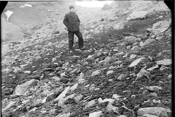
Explore how Elke Mackenzie, a pioneering transgender botanist, helped reshaped our understanding of polar exploration and LGBT+ history.
Piece
Catalogue reference: WO 78/774
This record is about the Kingdom of Holland (now The Netherlands): Flushing (Vlissingen). 'Plan de Flessingue':... dating from [c.1809] in the series War Office and predecessors: Maps and Plans. It is held at The National Archives, Kew.
No, this record is not available online. Other ways to view it.
Yes, this record is held at The National Archives and is available to see in person. How to view it.
Kingdom of Holland (now The Netherlands): Flushing (Vlissingen). 'Plan de Flessingue': map showing streets, buildings, fortifications, canals, and surrounding fields with trees. Reference table. Scale: 22 cm to about 300 metres. Compass rose. According to the War Office map docket book (which was the original means of reference to the War Office maps), this map was received from Colonel Fyers in 1809.
WO 78
See the series level description for more information about this record.
Kingdom of Holland (now The Netherlands): Flushing (Vlissingen). 'Plan de Flessingue':...
Read stories that share a catalogue subject with this record.
The story of
Focus on

Record revealed
Records that share similar topics with this record.