Focus on
Emily Capper and the 1934 Gresford Colliery disaster
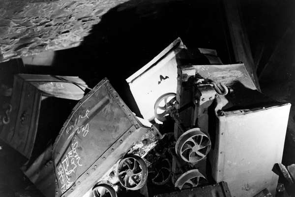
Our records tell the story of Emily Capper's desperate campaign to recover the bodies of the victims, including that of her son.
Piece
Catalogue reference: IR 30/5/147
This record is about the Tithe map of Dodleston (parish), Cheshire. Shows buildings (named), chapel, smithy,... dating from [1840] in the series Tithe Commission and Successors: Tithe Maps. It is held at The National Archives, Kew.
Sorry, information for accessing this record is currently unavailable online. Please try again later.
Tithe map of Dodleston (parish), Cheshire. Shows buildings (named), chapel, smithy, township boundaries, boundary stones, named roads, footpath and/or bridleway, parkland, woods, quarry, waterbodies, bridges, well, antiquities (moat). Scale: 1 inch to 3 chains. First class map. By John Davies, Mollington near Chester
Tithe file: IR 18/9
Tithe apportionment:
IR 30
See the series level description for more information about this record.
Tithe map of Dodleston (parish), Cheshire. Shows buildings (named), chapel, smithy,...
Read stories that share a catalogue subject with this record.
Focus on
The story of
Records that share similar topics with this record.