Record revealed
Letter from a ‘destitute’ man to the Poor Law Commission

In this letter, Thomas Henshaw of Derbyshire complained of his treatment by local officials who denied him welfare despite his ‘most distressing’ situation.
Piece
Catalogue reference: IR 30/1/5
This record is about the Tithe map of Biggleswade (parish), Bedfordshire. Shows buildings (named), church,... dating from 1838 in the series Tithe Commission and Successors: Tithe Maps. It is held at The National Archives, Kew.
Sorry, information for accessing this record is currently unavailable online. Please try again later.
Tithe map of Biggleswade (parish), Bedfordshire. Shows buildings (named), church, workhouse, mill, open fields, field boundary ownership, field gates, common (named), parkland (named), woods, waterbodies, canal. Named roads; public road distinguished. Industrial land-use: brick kilns. Also shows tithe-free lands. Scale: 1 inch to 3 chains.
With 3 altered apportionment maps
Tithe file: IR 18/12979
Tithe apportionment:
IR 30
See the series level description for more information about this record.
Tithe map of Biggleswade (parish), Bedfordshire. Shows buildings (named), church,...
Read stories that share a catalogue subject with this record.
Record revealed
The story of
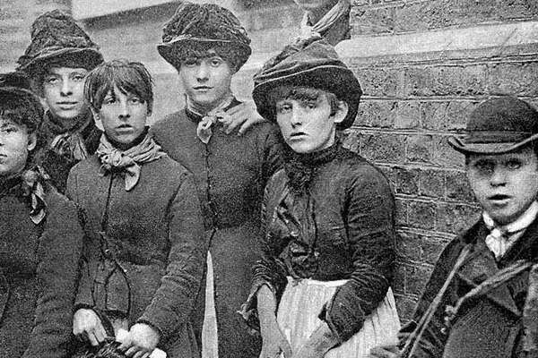
The story of
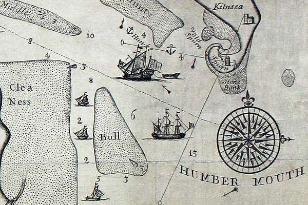
Records that share similar topics with this record.