Environment and agriculture
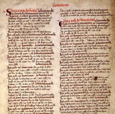
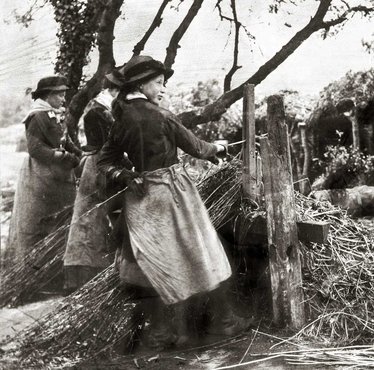
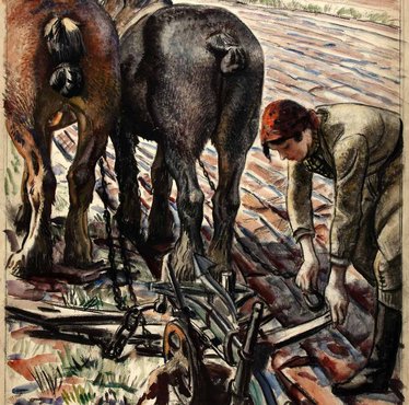
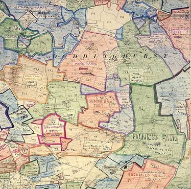
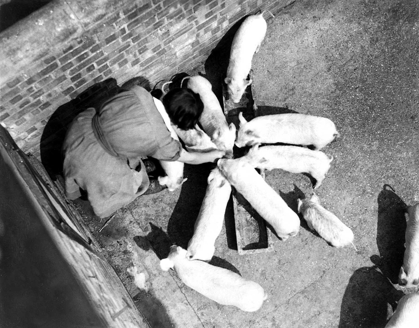
Government records have been used throughout history to document the landscape of rural Britain. Using maps, surveys and photographs, we can trace farming life over time.
-
The first American invention to obtain an English patent
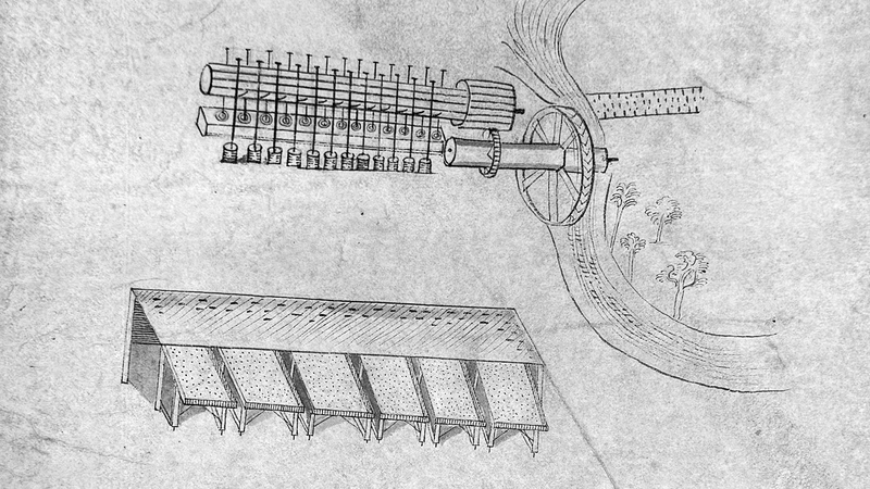
These intricate 1716 drawings were submitted by Sybilla Masters in the final stage of securing a patent for machinery for 'cleaning and curing Indian corn'.
