Focus on
Henry Savage Sweetman: the man who uncovered Ireland’s medieval history

Henry Savage Sweetman published the Calendar which translated over 8,000 Irish medieval records. But who was Sweetman and why did he complete this project?
Piece
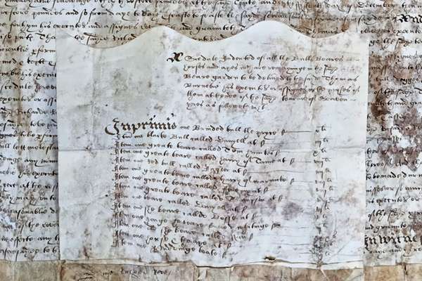
Catalogue reference: MPI 1/675
This record is about the 2 items extracted from IR 18/12324. Yorkshire, West Riding. (1) '[Township of Eccup... dating from 1870-1880 in the series Public Record Office: Maps and plans extracted to flat storage from various series.... It is held at The National Archives, Kew.
No, this record is not available online. However, you can order a copy. Other ways to view it.
Yes, this record is held at The National Archives and is available to see in person. How to view it.
2 items extracted from IR 18/12324. Yorkshire, West Riding. (1) '[Township of Eccup in the Parish of Adel, deleted] Glebe Exchange Addle (Township of Addle cum Eccup) W. R. York': plan illustrating proposed glebe exchange between Reverend H T Simpson and Earl of Harewood, 1870. Reference table. Scale: 1 inch to 6 chains [1:4752]. Compass indicator. Signed by 'J W S Cundy, Land Agent &c, Wetherby'. Initialled and dated 5 November 1870. Small overlay of Parcel 202. Stamped: Received Tithe Commission, June to September 1880. (2) 'Altered Apportt [Apportionment] Addle [Adel] cum Eccup W.R. York'; plan showing plots to the north of Knot Lane. Approximate scale: 1 inch to 8 chains. Compass indicator. Initialled and dated 16 and 21 September 1880. Stamped: Received Tithe Commission, July to December 1870. Dimensions of sheets: (1) 53 cm x 66 cm (2) 22 cm x 24 cm.
MPI 1
See the series level description for more information about this record.
2 items extracted from IR 18/12324. Yorkshire, West Riding. (1) '[Township of Eccup...
Read stories that share a catalogue subject with this record.
Focus on
Record revealed

Record revealed
Records that share similar topics with this record.