Focus on
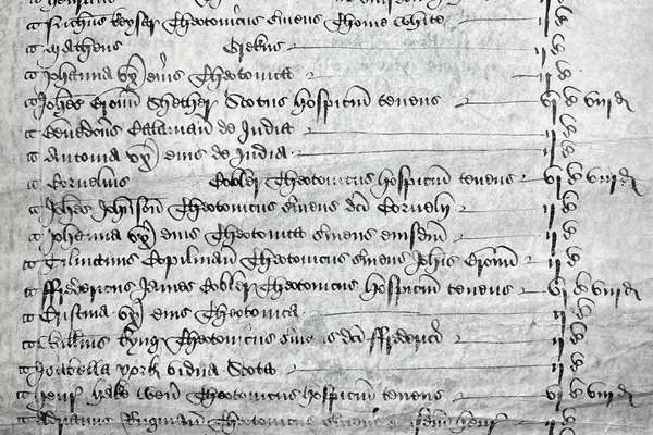
Henry Savage Sweetman: the man who uncovered Ireland’s medieval history

Henry Savage Sweetman published the Calendar which translated over 8,000 Irish medieval records. But who was Sweetman and why did he complete this project?
Series
Catalogue reference: RG 114
RG 114
Plans of Division are used by Census Officers (usually Local Registrars) to record how their registration sub-district would be divided up into enumeration districts for the census. In urban areas they list which streets are in which enumeration...
Plans of Division are used by Census Officers (usually Local Registrars) to record how their registration sub-district would be divided up into enumeration districts for the census.
In urban areas they list which streets are in which enumeration districts, and even which part of a street, or range of house numbers from a street fall into a given enumeration district.
In rural areas they indicate which hamlets and outlying farms were included in a particular enumeration district.
Electronic images of these records can be searched online through our partner website.
The Plans of Division books are arranged by number of registration district and number of registration sub-district.
The Plans of Division books included a reference number on the front cover in the format of Registration District/Registration Sub-district/part number (if needed), for example:
The covers also specified the Registration District and Registration Sub-district in full (including any parts), for example:
There are no Plans of Division books for the Isle of Man, Channel Islands or Armed Forces.
In 2022 Office for National Statistics
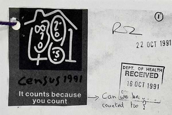
The Census of 1921 was the first to be taken in accordance with the provisions of The Census Act 1920.
The Census Act 1920 had notable effects on future census procedures. The main effect was that subsequent censuses could begin census preparations or recruit or allocate staff without their own dedicated Act of Parliament. The Act also featured a confidentiality clause which was stricter than previous censuses.
The Plans of Division for 1921 are standard 32 page booklets which list all of the enumeration districts covered by the Census of 1921. Enumeration districts were designed so that a single enumerator could visit all the properties before census day to collect the schedules after completion.
Plans of Division helped the identification of districts for each individual volume of the census and determined how to approach spelling variations for place names or boundary anomalies. For example, the southern coast of Anglesey being included in a mainland district.
General Register Office: 1921 Census Plans of Division
Read stories that share a catalogue subject with this record.
Focus on
Record revealed
Focus on
Records that share similar topics with this record.