Focus on
Henry Savage Sweetman: the man who uncovered Ireland’s medieval history

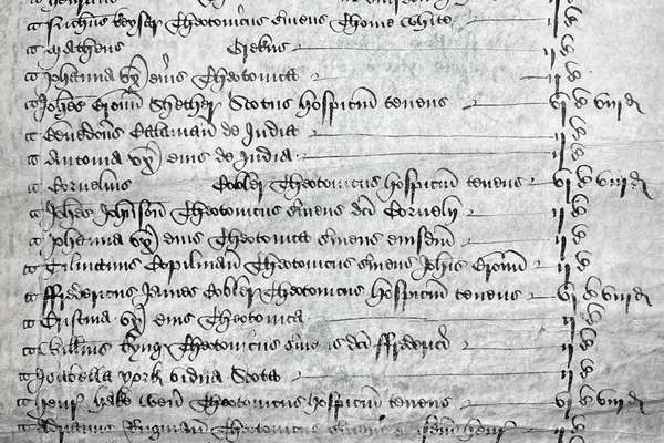
Henry Savage Sweetman published the Calendar which translated over 8,000 Irish medieval records. But who was Sweetman and why did he complete this project?
Series
Catalogue reference: RG 18
RG 18
The series consists of printed maps with manuscript additions, mainly showing registration districts and sub-districts in England and Wales, at the time of the population censuses of 1861 (London only), 1871 (except London), 1891 and 1921. Maps...
RG 18
1861-1921
The series consists of printed maps with manuscript additions, mainly showing registration districts and sub-districts in England and Wales, at the time of the population censuses of 1861 (London only), 1871 (except London), 1891 and 1921. Maps for some areas are wanting (ie never transferred to The National Archives). Maps forming this series can be used to identify registration districts for hamlets and small centres of population, which are not noted in the catalogue descriptions and do not appear in the printed indexes to the censuses.
Digital images of the 1871 census maps can be searched online through our partner website.
Grouped into five subseries: one each for the 1861, 1871, 1891 and 1921 censuses, and the fifth for maps not relating to a particular census. Within each subseries the maps are arranged in numerical order by sheet number or by registration district.
Public Record(s)
English
1467 flat sheet(s)
Open
Records of the General Register Office, Government Social Survey Department, and...
Office of Population and Censuses and Surveys: General Register Office: Reference Maps of Registrar's Districts
Focus on
Record revealed

Record revealed
Records that share similar topics with this record.